Île de Port-Cros
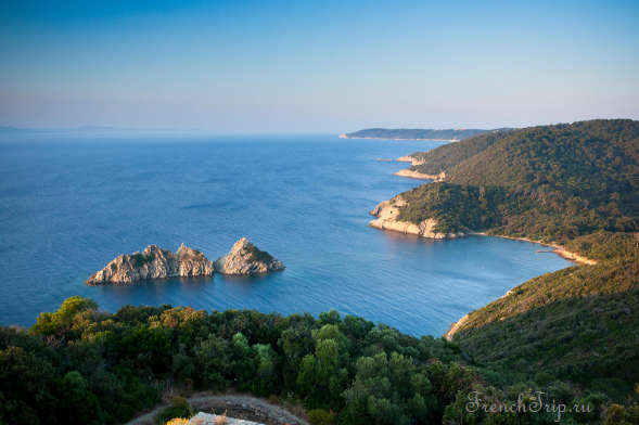
Port-Cros is the middle island of the Îles d’Hyères and the strictest protected site on the French Mediterranean. It became France’s first marine national park in 1963, and the protection covers not only the island — 700 hectares of it — but the water for 600 m around.
It is smaller and steeper than neighbouring Porquerolles, almost entirely wooded, and there is essentially nothing on it but paths.
What the protection means
This is not a formality, and knowing the rules before you board saves an argument on arrival:
- No cars, no bicycles — you walk, and that is the whole transport system
- No dogs, even on a lead
- No smoking outside the village, and no fires anywhere
- Stay on the marked paths — leaving them is an offence, not a suggestion
- Pick nothing, above or below water, and take everything away with you
- Anchoring is restricted and spearfishing prohibited
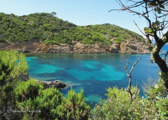
The result is an island that looks like the Mediterranean coast did before the twentieth century: 180 species of bird, arbutus and holm oak down to the water, and seagrass meadows offshore.
The underwater trail
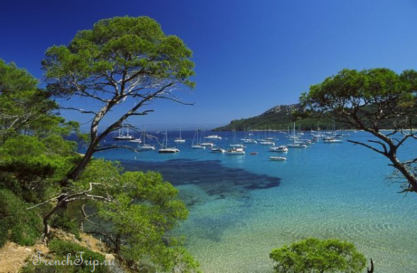
The thing Port-Cros is known for. At Plage de la Palud a marked snorkelling route runs offshore over the seagrass and rocks, with submerged information plaques identifying what you are swimming over. Masks and snorkels are available in season and there are guided swims.
It was the first underwater nature trail in France and it remains the best introduction to a Mediterranean seabed that has not been fished flat.
Walking
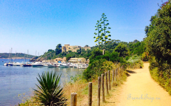
Three marked routes leave from the harbour:
- Sentier des Plantes — about an hour, easy, to Plage de la Palud and back past Fort de l’Estissac
- Circuit du Port-Man — around four hours, the full eastern loop, with the best views and a beach at the far end
- Vallon de la Solitude — about two hours, inland through the wooded valley to Fort de la Vigie
The island is steep and there is no shade on parts of the coast path. Bring water: there is one shop, in the village, and nothing beyond it.
The forts
Port-Cros was fortified from the sixteenth century against Barbary raiders and later against the English. Fort de l’Estissac above the harbour holds a park exhibition in summer; Fort du Moulin and the ruined Fort de la Vigie are on the walking routes. The village below is a dozen houses, a restaurant or two and the harbour.
Getting to Port-Cros
- By boat from Hyères (Port d’Hyères), about an hour; also from Le Lavandou in 35 minutes, and from La Tour Fondue and Cavalaire in season.
- Services are much reduced outside the summer, and the crossing is exposed — boats are cancelled in strong wind, which on this coast means the mistral. Check the day before.
- Some sailings combine Port-Cros and Porquerolles in a day, which is enough for a walk on one and a swim on the other, and not much more.
Staying
There is one hotel and a couple of guest rooms on the island, and they book out months ahead. Camping is prohibited. Almost everyone comes for the day.
Around
- Porquerolles — the larger island west, with the sand beaches and the bicycles
- Île du Levant — the third island, split between a military zone and one of the oldest naturist communities in Europe
- Hyères and the Giens peninsula — the mainland, with salt pans and flamingos
- Toulon — 40 km west
When to go
May, June and September. The water is warm enough for the snorkelling trail from June, warmest in September. July and August are busy and the fire risk is at its highest — parts of the interior close on red-alert days. Winter crossings are sparse and weather-dependent.
See the natural sights of Provence and the best beaches in the region.
Weather in Île de Port-Cros
| Month | Day | Night | Rainfall |
|---|---|---|---|
| January | +13° | +8° | 64 mm |
| February | +13° | +8° | 51 mm |
| March | +15° | +9° | 48 mm |
| April | +17° | +11° | 56 mm |
| May | +21° | +14° | 37 mm |
| June | +25° | +18° | 22 mm |
| July | +28° | +20° | 7 mm |
| August | +29° | +21° | 14 mm |
| September | +25° | +18° | 59 mm |
| October | +20° | +15° | 86 mm |
| November | +16° | +12° | 104 mm |
| December | +13° | +9° | 74 mm |
Updated: