Erbalunga
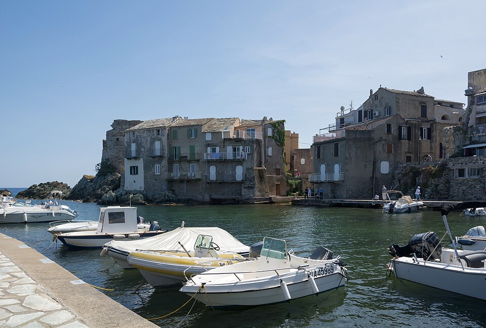
Erbalunga is a fishing hamlet built onto a rock spur on the eastern shore of Cap Corse, 9 km north of Bastia. It belongs to the commune of Brando and has a few hundred residents.
It is the first real stop on the drive up the cape, and the one most people remember: tall stone houses standing directly in the water around a small harbour, with a ruined Genoese tower on the point.
The tower and the harbour
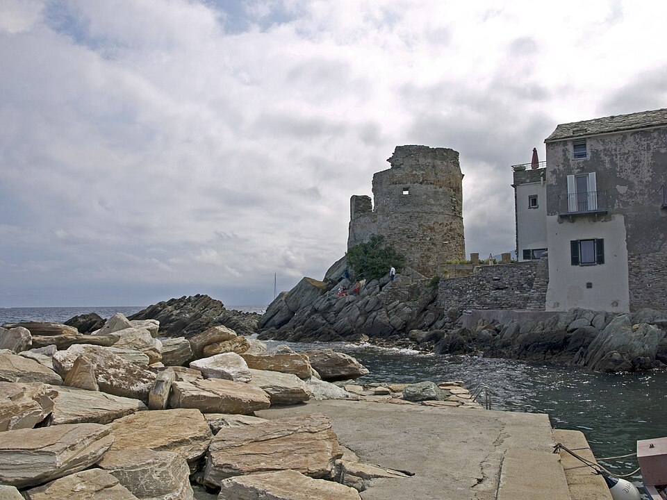
The Genoese tower at the end of the spur is sixteenth-century, one of the chain of some ninety built round the Corsican coast against Barbary raids. Half of it has fallen into the sea; what remains sits directly on the rock with the water on three sides, and it is the most photographed ruin on the cape.
The harbour below is still a working one in a small way — a handful of boats, nets, and the cafés along the quay. There is no beach in the village itself; the shingle strands are just north and south of it.
The village
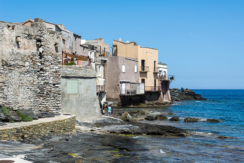
Erbalunga is small enough to see in half an hour and worth an hour or two. Lanes run between tall schist houses to the water; there is a seventeenth-century church, a chapel of the confraternity of Saint-Erasme — patron of fishermen — and not much else, which is the point.
It was a minor artists’ colony in the twentieth century, and it still has more galleries and small restaurants per resident than anywhere else on the cape.
The Good Friday procession
On the Thursday and Friday of Holy Week the confraternity walks the Cerca — a night procession through the hamlets of Brando by candlelight, ending in the Granitola, a spiral in which the column coils in on itself and unwinds again. It is one of the oldest surviving rites in Corsica and, unlike much of what is staged for visitors on this island, it is real.
Practical
- Parking is at the entrance to the village; the lanes are not for cars, and in July and August the car park fills early.
- The main road passes above the village — it is easy to drive straight past. The turning is signed Erbalunga marine.
- Several restaurants on the quay; book in season.
Getting there
- By car — the D80 north from Bastia, 15 minutes. See parking in France.
- By bus — regular services from Bastia up the east side of the cape.
- On foot — a coastal path runs north from the village towards Sisco.
Around
- The full circuit of Cap Corse — about four hours without stops; go clockwise so you stay on the inside of the road
- Centuri — the fishing port at the far end of the cape
- Saint-Florent — at the western foot of the cape
- Sisco and the Tour de Sénèque — up the valleys behind the coast
When to go
May, June, September and October. In August the cape road is slow and the village car park is full by ten. Holy Week, for the procession, if the dates fall for you.
See Corsica.
Photo credits
Photographs on this page come from Wikimedia Commons under free licences:
- The marina — Isiwal, CC BY-SA 3.0, via Wikimedia Commons
- The tower — Ymblanter, CC BY-SA 4.0, via Wikimedia Commons
- The shore — Isiwal, CC BY-SA 3.0, via Wikimedia Commons


Nearby
Other places on this site within easy reach, as the crow flies:
- Nonza — 11 km
- Patrimonio — 12 km
- Désert des Agriates — 27 km
- L'Île-Rousse — 47 km
- Corbara — 50 km
- Pigna — 51 km
Weather in Erbalunga
| Month | Day | Night | Rainfall |
|---|---|---|---|
| January | +14° | +9° | 56 mm |
| February | +14° | +8° | 62 mm |
| March | +16° | +10° | 62 mm |
| April | +18° | +12° | 71 mm |
| May | +22° | +16° | 52 mm |
| June | +26° | +19° | 38 mm |
| July | +29° | +22° | 14 mm |
| August | +29° | +23° | 22 mm |
| September | +26° | +20° | 70 mm |
| October | +22° | +17° | 111 mm |
| November | +18° | +13° | 124 mm |
| December | +15° | +10° | 90 mm |
Updated: